US191 Pinedale
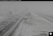
US 191 between Pinedale and Daniel Junction on Saturday, December 26th. Roads are good in the Pinedale area. WYDOT webcam view.
|

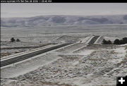
South Pass - West
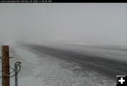
South Pass, WYO 28, view looking west on Dec. 26th. WYDOT webcam view.
|

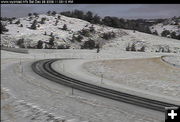
South Pass
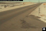
WYO 28, South Pass, view looking east on Saturday, December 26th. WYDOT webcam view.
|

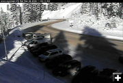
Teton Pass
View of Teton Pass, WYO 22, on Saturday, December 26. WYDOT webcam view.
|

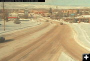
Lander
View of US 287 in Lander on Saturday, Dec. 26. WYDOT webcam view.
|

I-25 Whitaker
Interstate 25 at
Whitaker, between Chugwater and Cheyenne, on Saturday, Dec. 26. This interstate is closed at the time of this photo. WYDOT webcam view.
|
|
