|
Visitor's
Guide to Pinedale, Wyoming |
| Pinedale Online > News > July 2004 > Pinedale area featured on NightLine TV Program > Southern View Trappers Point |
Back to Article © Photo by Pinedale Online |
|
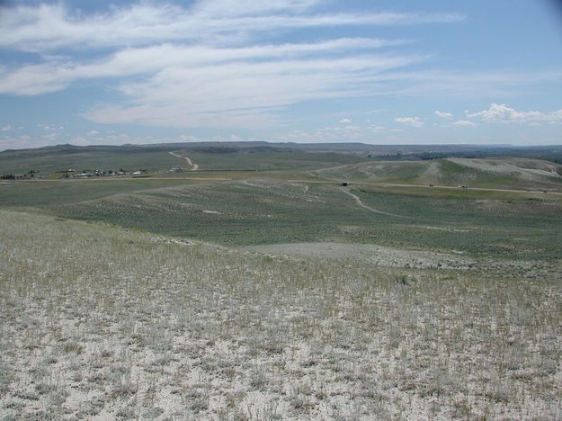
Another view of what is called the Trappers Point wildlife corridor bottleneck. View is looking to the south, standing on the north side of US Highway 191. Pinedale is approximately 6 miles to the left. The animal underpass is visible on the highway. Trappers Point monument is on the knoll just above the underpass and vehicles in view on the highway. Private land with residential development is on the left, BLM public land, and the Mesa to the south, encompasses most of the rest of the view. The Green River cuts a ribbon of green on the far right. Photo taken July 25, 2004. |
|
Copyright © 2004 Pinedale Online. All rights reserved. |